(Centre for Integrated Built-Environmental Consultancy & Research)
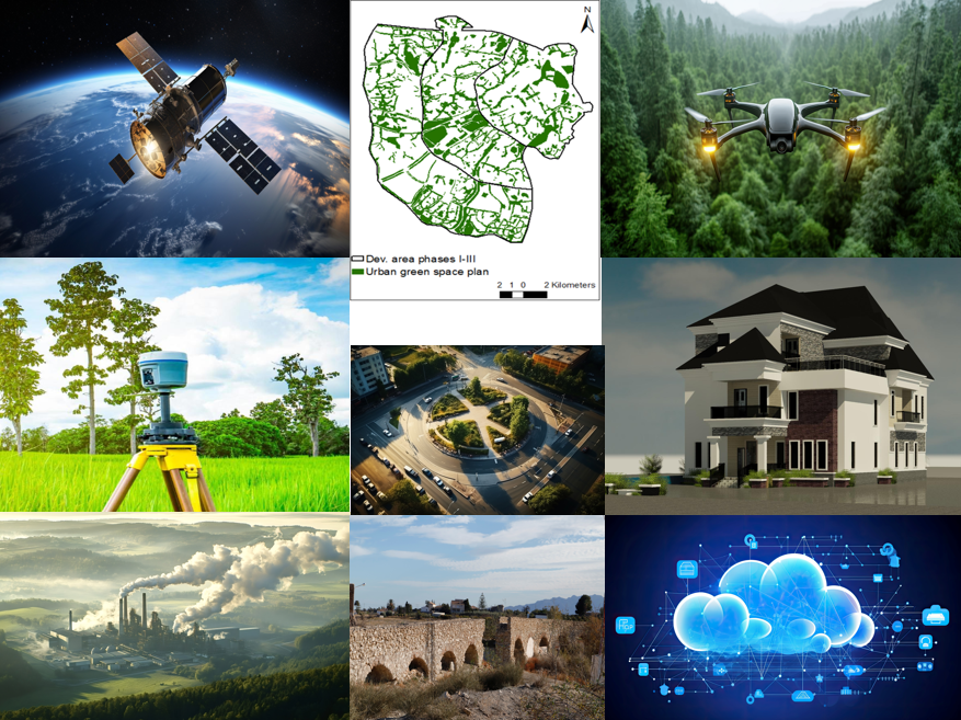
Enog Geographic Information Technology (EnogGIT) is a centre for Integrated Built-Environmental Consultancy and Research, where Geo-Information Technologies (Geographic Information Systems – GIS, Global Positioning Systems – GPS, and Remote Sensing) and other Built-Environmental Technologies (with AutoCAD, ArchiCAD, Revit, etc. applications) are deployed on various built-environmental projects, including Land Surveying & Geomatic Engineering, Environmental Impact Assessment (EIA), Urban Design, Architectural Design, etc. projects.
Our Vision
Our vision is to serve the people of Africa through effective natural resource, environmental, and socio-cultural development and management.
Our Mission
Our mission is to integrate various technologies and professional skills to create sustainable and functional human environments for our customers and protect the natural environments from various built-environmental projects.
Our Target Customers
Our target customers include public and private companies, NGOs, institutions, government departments/agencies, and individuals seeking our consulting, research, and/or training services.
Considering the high level of human-environment interactions, causing land and environmental degradation in the built and natural environments, our research adopts the integrated research approach within a multidisciplinary context. Through scientific innovation, the integrated research approach combines …
Our GIT training is based on practical applications of Geographic Information Systems (GIS), Global Positioning Systems (GPS), Remote Sensing (Satellite and Drone-based), and Total Station using various platforms, including Python Programming, ArcGIS, Quantum GIS, and AutoCAD. As consultants and researchers, we integrate …
We are a team of professional Geoinformaticians, Land Surveyors & Geomatic Engineers, Town Planners, Architects, Environmental Engineers, Environmental Impact Assessment (EIA) Experts, Heritage Impact Assessment (HIA) Experts, and Building/Civil Engineers. We integrate …