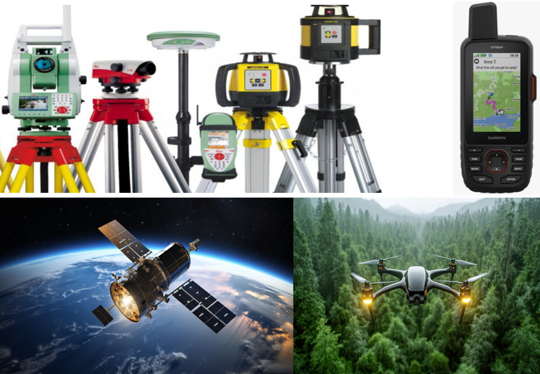
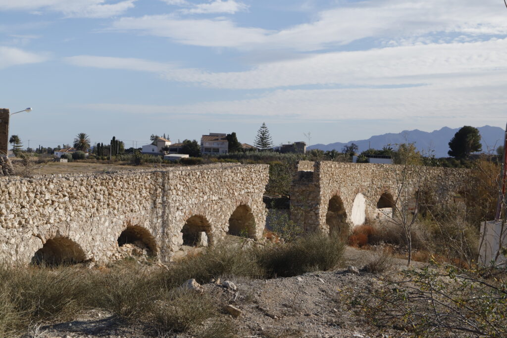
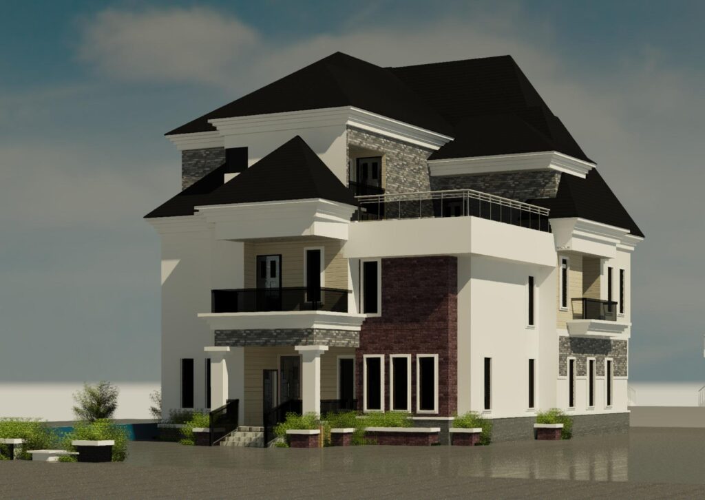
Enog Geographic Information Technology
(Centre for Integrated Built-Environmental Consultancy & Research)
Consultancy Services

We deploy Geo-Information Technologies in geo-spatial big-data analysis and produce thematic and general-purpose maps for every economic sector. We integrate our research innovation into our geo-spatial consultancy at all levels, including basic mapping to advanced geo-spatial analyses and modelling to provide answers to geographic questions in every economic sector.

We render land surveying and geomatic engineering services, including cadastral surveying, topographic/engineering surveying, and control surveying. In doing so, we deploy various Geographic Information Technologies, including GPS, GIS, Drone Remote Sensing, and total stations, to carry out accurate measurements on the ground, process the collected data, and display it as maps and/or plans for end users.

To improve environmental sustainability, the government has made it mandatory to conduct the Environmental Impact Assessment (EIA) on certain development projects. The EIA, therefore, is an environmental planning and management instrument used for determining and mitigating the potential environmental impacts of development projects. Our EIA experts are fully equipped to follow the EIA process to conduct the EIA research and draft the report, ensure approval from the government authorities, and follow up with the project implementation.

Planning a development near a listed building, conservation area, or heritage site?
A Heritage Impact Assessment (HIA) is essential for ensuring that the historic character of the area is thoughtfully considered in your proposal. Most planning authorities require an HIA to assess how your project may impact the value and significance of nearby heritage assets.
Whether you’re undertaking a residential renovation, commercial construction, or infrastructure project, our HIA services support you by helping you:
Confidently navigate complex heritage and planning regulations
Minimize the risk of costly delays or planning refusals
…

Through architectural modelling, our Architects produce modern building designs of any type in 2-Ds and 3-Ds that pass the approval of Town Planners and Structural Engineers and the full registration of the plan. While incorporating the sustainability concept into our architectural/building planning and design, we ensure that the engineering/structure of the plan and design meet the specifications and criteria, and at the same time, are economically viable and socio-culturally acceptable by our customers.

Through urban modelling, our Town Planners produce modern urban designs using various neighbourhood concepts that promote urban green infrastructure and environmental sustainability. Also, our Town Planners are academically and professionally equipped to develop new master plans or follow existing master plans at the local/urban and regional scales. In so doing, socio-cultural, economic, and environmental issues are mandatory considerations at all levels of our planning projects, including site, layout, and urban planning & design. Furthermore, our Town Planners approve site plans for architectural/building designs.

Experience the Potential of WebGIS — a powerful, cloud-enabled Geographic Information System that transforms spatial data into interactive, real-time insights directly in your web browser. Whether you’re overseeing infrastructure, designing city layouts, or tracking environmental shifts, our WebGIS solutions allow you to view, analyze, and engage with geospatial information anytime, anywhere.
Additionally, we specialize in planning, designing, and developing custom websites. Your website is more than a digital presence—it’s the first impression of your brand, your round-the-clock representative, and a key marketing asset. We create tailored websites that are not only visually appealing but also built for speed, user experience, and measurable results.
Furthermore, we are into Cloud Computing Solutions on various platforms, including MS Azure, Amanzon Web Services (AWS), and Google Cloud Platform (GCP). Boost your business with cloud computing solutions built for flexibility, efficiency, and scalability. Whether you’re a small startup, large corporation, or public sector organization, we empower you to fully leverage cloud technology to streamline operations, lower expenses, and accelerate innovation.

As landed property agents, we connect buyers to suppliers of landed properties. Additionally, we offer consulting services to buyers by deploying Geo-Information Technologies to provide useful information about the environmental risk hazards, such as flooding, which may be associated with landed property at different locations.
Whether you’re looking to buy your ideal home, sell a prestigious property, or invest in prime land, our Landed Property Agency Services offer trusted expertise, clear communication, and proven results at every stage. We focus on luxury residences, townhouses, bungalows, and serviced plots—customized to suit your vision and needs.