(Centre for Integrated Built-Environmental Consultancy & Research)
Land Surveying & Geomatic Engineering Services
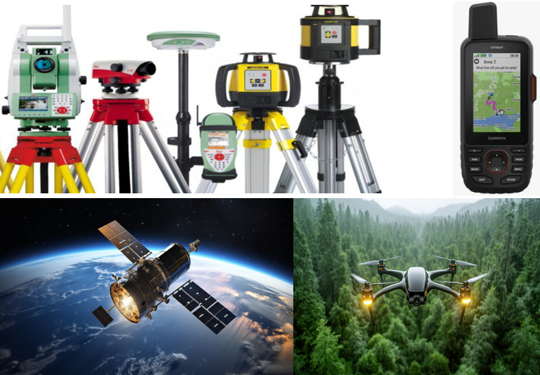
We render land surveying and geomatic engineering services, including cadastral surveying and topographic/engineering surveying. In doing so, we deploy various Geographic Information Technologies, including GPS, GIS, Drone Remote Sensing, and total stations, to carry out accurate measurements on the ground, process the collected data, and display it as maps and/or plans for end users.
Main Services
Cadastral Surveying (Boundary Surveying)
Boundary Dispute Resolution
Title Surveying
Layout Surveying
Cadastral GIS Database Development
Survey Plans’ Registration with the Government Authority